.jpg)
California History Section Materials
Maps
 Call number:
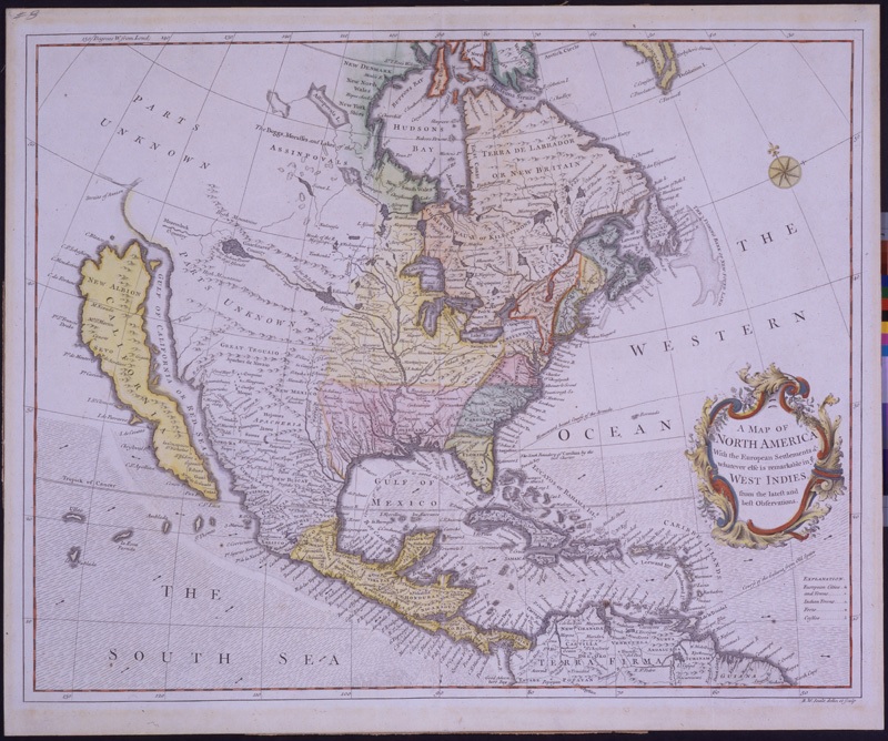
Framed c912.C15 1744 Published:
, c1744. ( 1 map : col. ; 38 x 47 cm.) Notes:
The California State Library’s sizable map collection contains maps both old and new for every county in California. Some of them are listed in the online catalog.
More items like this in the catalog
The items displayed above are housed in the California History Section of the California State Library. For more information about them, please consult our catalog and the California Information File II or ask us a question.
